After a pause in the story, I'm back with part 4 of my road trip. You might want to read the lead up to this first (part 1, part 2, and part 3)
My little campsite in the morning; the White River is just beyond the trees in the background
After staring at the beautiful night sky well past midnight, I awoke early (for me), showered, ate a quick cheese-and-bagel "sandwich," then packed up and headed back to Badlands National Park. I didn't really plan on spending much time there, but also wanted to beat the heat. The previous day was 100F well into the late afternoon, and heat resistant though I am, it is wearying and dangerous, especially if you run out of water.
"King Tut," a fossil turtle on display at the Badlands' Ben Reifel Visitor Center
I started by going to the Ben Reifel Visitor Center to see if there was anything new and interesting in the gift shop (and get a few post cards for friends who had expressed that they wanted to receive them), and the fossil prep lab was open. I spoke with the paleontologists there a bit, and was told that if I wanted to find a fossil, the best bet was to go off trail. I must have looked horrified -- after all, most parks stress stay on the trails to prevent ecological damage -- and she told me that because Badlands erodes so much (up to an inch a year!), staying on trails isn't as important in this park.
After saying "hi" to Ranger Paul (who is one of this park's secret treasures; he has some great stories to tell about people asking questions like, "When do you paint the rocks?" and "So this road is currently closed? Does that mean I can't go here?), I headed back to Norbeck Pass and the Fossil Exhibit Trail end of Castle Trail. I figured I'd hike a bit down Castle Trail, then head out of the park via Sage Creek Rim Road to look for wildlife.
Right away, I saw some bighorn sheep across a ravine in nearly the same place that Pat and I had seen them last year. Unlike last year, I had my zoom lens and Canon DLSR with me, so I could actually get some decent photos of them.
As I took some photos of the rams, a couple of other hikers came by, saw me taking photos and of course started congregating where I was. So, I continued on down the trail until I found an area that enticed me to go off trail, and off trail I went.
Beefy surveys his domain
What have we here???
Those are definitely bones
After seeing the bones, I took several photos, recorded the GPS coordinates, and headed back to the visitor center. They weren't terrible far from the trail and so obvious that I was pretty sure they'd been reported previously, and sure enough, that's what I was told. They are pre-Columbian bison bones, so between 800-1000 years old. Not quite "fossil" material, but I still got a patch for doing the right thing. 😁
If you report a finding instead of disturbing it, you get a patch and allow trained professionals to obtain information from the finding that is shared with everyone
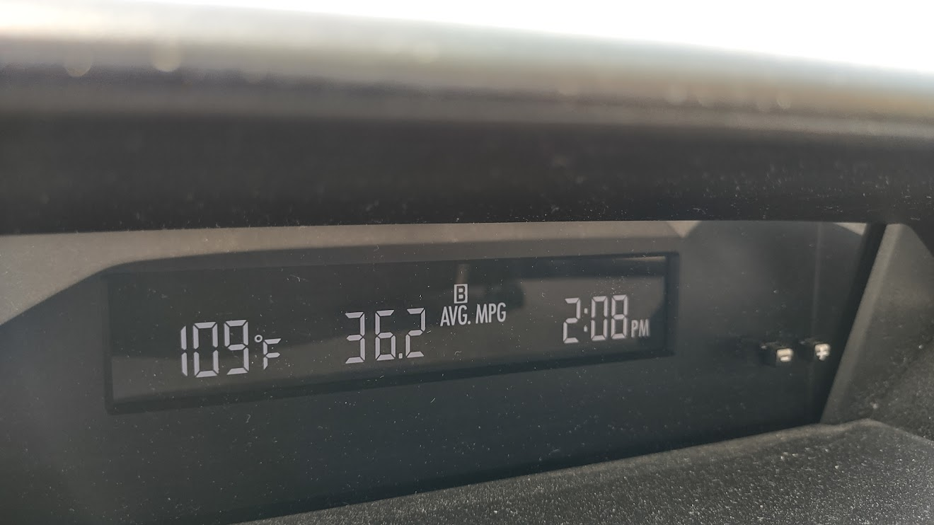
At this point, it's later in the day than I really planned on staying in the park, and it's hot AF.
I don't care if the humidity is low, this is not pleasant. BTW, that's 2:08 EDT, because I don't like changing the clock
It was time to go down Sage Creek Rim Road, visit the bison and the prairie dogs, and then maybe go to Custer or something.
You get more colors in the landscape along Sage Creek Rim Road
Prairie with grazing bison
A horned lark at Roberts Prairie Dog Town
Sorry guys, I didn't bring any apples
As I approached the park exit, I started to see more and more and more bison. In fact, there was a bison in the middle of the road.
The truck's driver said he'd been waiting about ten minutes for the bison to move when I came along. I only had to wait for a few minutes
There were a ton of bison here, kind of like when we were surrounded by bison at Theodore Roosevelt National Park in 2019 or at Custer State Park last year. I was driving super slow (20-30mph) because they were right next to the road, walking into the road, etc. and clearly some people didn't care that a collision could occur. Two trucks passed me and damn near hit multiple bison.
This was the first of the impatient people
It looks like a fence separates us, but there was a wide open gate just up the road
Beefy is excited to see his people
This was the second of the impatient people to pass me. I'm pulled over here, because these two bison were in the road. The garbage truck barely slowed down as it approached them and fortunately, they moved
So many bison
From Wall, I decided to go up to the South Dakota Air & Space Museum in Box Elder. It's basically just outside the main gate to Ellsworth AFB. Mom and I had visited here in 2015, but this time the indoor exhibits were still closed. I'm not sure if that's because of funding, lack of staff or what. I wandered around the outdoor exhibits (which are still open) before making a reservation at the Custer/Black Hills KOA and heading that way.
Titan I
B1-B Lancer, or as Pat says, "Bone".
VB-25J used by Gen. Eisenhower during WWII
Minuteman Missile; Ellsworth AFB is one of the bases that takes care of the silos
F105-B Thunderchief
EB-57B Canberra
F102-A Delta Dagger
The route that Waze had me take to the campground took me through Custer State Park, though since I wasn't using the Wildlife Loop or any of the trails, I wasn't charged admission. As I got into the Black Hills proper, the temperature dropped and became very comfortable, if not a little on the cool side by the time dusk came.
After setting up camp, I went back into Custer proper to briefly meet up with Kari from #ParkChat, who was closing up shop. She's a teacher, too, and we chatted about parks, road tripping, teaching and more before she headed home and I headed to Mt. Rushmore Brewing for dinner.
Had another quick but awesome tweetup with another fellow #parkchat friend today! 😁 @CamaroWRX, I'm so glad you could stop by and say hi amongst your adventures!! 😍 Safe travels, my friend! 🚙⛺ I know we will get together again! 😊 pic.twitter.com/CHCYhra76h
— Nature Tech Family 🏞️🚙📷 (@naturetechfam) August 3, 2022
I had an elk burger and a flight before choosing a few cans of to-go beer and going back to the campground where I got the firepit going.
and then....
I blame Kari. She made me want a s'more.
Ursa Major (Big Dipper) from the campground; I could see more, but my phone couldn't capture all of the majesty
The morning view was <chef's kiss>
I still had no plans come the next morning, so I figured I'd go to Wind Cave.
note : some links are associate links where a click will result in minimal compensation to me if you also make a purchase through that link
We started the seventh day, Saturday, August 1, in Butte, Montana. After checking the NPS website for the latest on the wildfires in Glacier National Park, it seemed we'd have no luck in being able to view a glacier at the singular viewing point along Going-to-the-Sun Road. Since Glacier was a bit out off our I-80 "track" anyway, we figured we'd just stop at whatever looked interesting as we continued westward towards Idaho.
The first place we encountered that fit the bill was in Deer Lodge, Montana. A brown informational sign along the highway stated that the Grant-Kohrs Ranch was at that exit, and I asked mom if she wanted to stop. "Sure" was the response.
We arrived just as the Park Ranger was opening up the visitor center, and he asked us if we'd like to do the house tour. It seemed like something cool to do, so we signed up; as early as it was, we were the only ones in the tour group. With the magic placard, we were allowed to drive over to the house and park closer, while the ranger -- whose name was Ken Kraushaar, amusingly enough -- walked the path between the visitor center and the house.
We weren't allowed to take photos in the house, so you'll have to take my word for it's amazingness. Like the Prairie Homestead, it was full of historic pieces, though these were in much better condition. Virtually everything in the house was just as it was when Conrad Kohrs lived there, and his parents were evidently extremely tall people if the mirror positions were any indication (I could barely seen my face from the chin up in the master bathroom.
The front of the ranch house, which has 12 or 13 bedrooms
The back of the ranch house, including the "winter patio" (what we'd call a greenhouse)
The Kohrs family had a monstrous cattle empire that extended up into Canada, and was one of the first millionaire families in America. Despite some lean years in the late 1800s, diversification of his empire allowed Kohrs to stay in business even as other cattle ranchers failed.
After the tour, we wandered the ranch grounds, talking with the woman running the chuckwagon (she was from Annapolis!), looking at the variety of phaetons and carriages in the stables, and watching the beautiful Percheron and Belgian horses.
Coffee's ready
Sulkies weren't always for racing
Blacksmith shop at the end of the stables
Workhorses
As soon as they noticed us, they came trotting over, looking for treats or something
Ranger Ken asked us what we planned to do next, and after hearing that we felt we needed to scrap our plans for Glacier, he suggested that we look at going to the National Bison Range outside St. Ignatius. It sounded intriguing, so we plugged the address into the GPS.
There are essentially two roads you can take around the range. One, Red Sleep Mountain Drive, goes to the right and circles around the range. The other, Prairie Drive, goes to the left, and meets up with Red Sleep Mountain halfway around. At that point, you have to turnaround and go back the way you came.
In the visitor center, there are displays that show where current sightings of animals are. Many bison had been seen along Prairie Drive, plus mom didn't like the idea of a one way dirt road with no guardrail and a steep embankment on the right. I had taken over driving duties by this point, and while the idea didn't phase me too much, I didn't need to hear sucking wind every time she got nervous as it started to make me nervous too. So, we stuck with lower road.
There were bison galore, both close to the road and far.
We also saw a herd of elk in the distance.
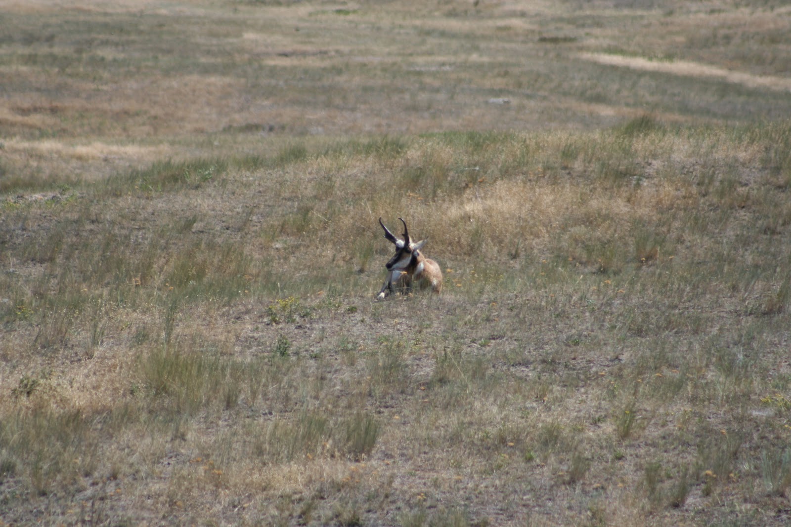
And pronghorn antelope and mule deer.
The only animals that we didn't see -- the bighorn sheep and mountain goats -- would have likely been in the upper altitudes of Red Sleep Mountain Drive.
The visitor center was actually out of postcards (the horror!), so we stopped at a little gift shop just off the grounds. We also picked up some local ground bison there, as well as huckleberry honey. Just the thought of the bison had my mouth watering. Mom stuck it in the RV's freezer for later.
From there, we wound our way to Missoula and back onto I-90. Construction up through Lookout Point slowed us down, and a search for an RV park for the night was building tensions again. The campground searches tended to start between 3-4PM, since the registration offices closed so early, and with the generator still not cooperating, and the refrigerator's gas power still not working, we couldn't really "rough it" without the refrigerator going warm overnight.
I finally needed to stop and stretch my legs come Post Falls, and so I stopped at Treaty Rock for a little walk. Mom opted to stay in the RV while I took the path down to the rock where the Coeur d'Alene tribe's Chief Seltice and Post Falls' founder, Fredrick Post, signed and immortalized their treaty for all to see.
Post's inscription under glass, which makes it difficult to photograph
An Indian pictograph to ensure a long lasting and respectful agreement
You can actually see Treaty Rock from I-90, but it's better to walk the short trail to see it close up and learn the history. Otherwise, it looks like protected graffiti.
Driving I-90 through Idaho is pretty quick since the upper part of the state is only about 75 miles wide. We were quickly in Spokane, Washington where we could see smoke on the horizon in front of us. Mom was looking at a camp site in Sprague, but as we approached the exit, it became clear that we did not want to stop there.
Wildfires
Some of the wildfires were within 100 yards of the eastbound lanes of I-90, and there were burned areas even closer. Needless to say, I would not have been able to sleep anywhere in the vicinity. We pushed on to Ritzburg.
Sunday morning came, and no fires were nearby. The sky was hazy, though smoke couldn't be smelled on the wind. We got on I-90 and continued towards Mount St. Helens. The GPS showed the quickest way from our night stop to the volcano was via US12 through Packwood.
Our first wayside of the morning was at the Columbia River Gorge and Wild Horses Monument.
Hoosier Bear looks out at the river
I-90 crosses the river at Vantage
Several little lizards caught my eye
Before we left, I asked mom if she minded taking the "scenic route" to Mount St. Helens, or if she preferred we take the longer, interstate route. She was fine with US12, so once in Yakima, we veered off towards Naches and finally into the Wenatchee Forest.
Rimrock Reservoir
Mount Rainier
As we entered Packwood and passed the lumber yards, I saw a red Corvette leaving the site. Andy Howe had told me there was an "autocross on Sunday," and now I realized he meant this Sunday. I begged mom to let me stop. "If my friends in the area knew I was right here and didn't stop, they are going to kill me. It'll just be 10-15 minutes."
She was okay with it, even though it turned into more like 30 minutes. I had to decline a variety of drive and ride offers, but I got to say hello to several people I hadn't seen since Nationals or longer. I just hope no one gave themselves whiplash with the doubletakes they did upon seeing me. :)
It was a solemn hike up the paved overlook trail outside the visitor center. I'd dropped mom off to walk up to the center, and when I parked, I realized she hadn't prepared a "deposit." My hands shook terribly as I opened the bag and sprinkled some ashes into a napkin, twisted it tight and put it in my pocket.






 Posts
Posts

